Latapult Custom
Build on our dynamic mapping tools with your own customizable data and project tracking layers.
Interact with your own data and site plans on a Latapult map.
Our GIS data, which spans the entire nation, is the most comprehensive you’ll find and trusted by many. But many clients create their own datasets and site plans or use ancillary market information acquired from other sources. We work closely with you to get this information into our platform so that you can use it to make decisions.
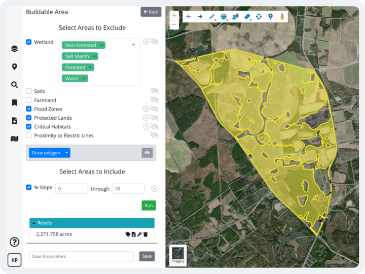
With custom data layers, you can view proprietary files, like local utility data attributes, against our extensive GIS and due diligence layers to get a holistic view of land, determine the feasibility of site plans, and view important details based on location—ultimately powering data-validated business decisions.
Level up project tracking with GIS layers designed specifically for your workflows.
Clients tell us Latapult is ingrained in their daily workflows, helping them better understand land, streamline collaboration, and make informed decisions. And we know that collaboration is key to driving organizational efficiency. Our GIS software gives you the ability to share information across teams, but when you need to be in even greater lockstep with your team, our experts are here to create a database just for you and your personal workflows to facilitate automatic sharing.
With custom project tracking layers or software integrations, you can keep tabs on project status with all the necessary insights across teams with multiple disciplines.
What our clients say about us

What level of Latapult Custom do you need?
From personalizations you can make on your own to ultra-tailored layers built by our geospatial experts, we offer a variety of options to help customize Latapult to fit your needs.
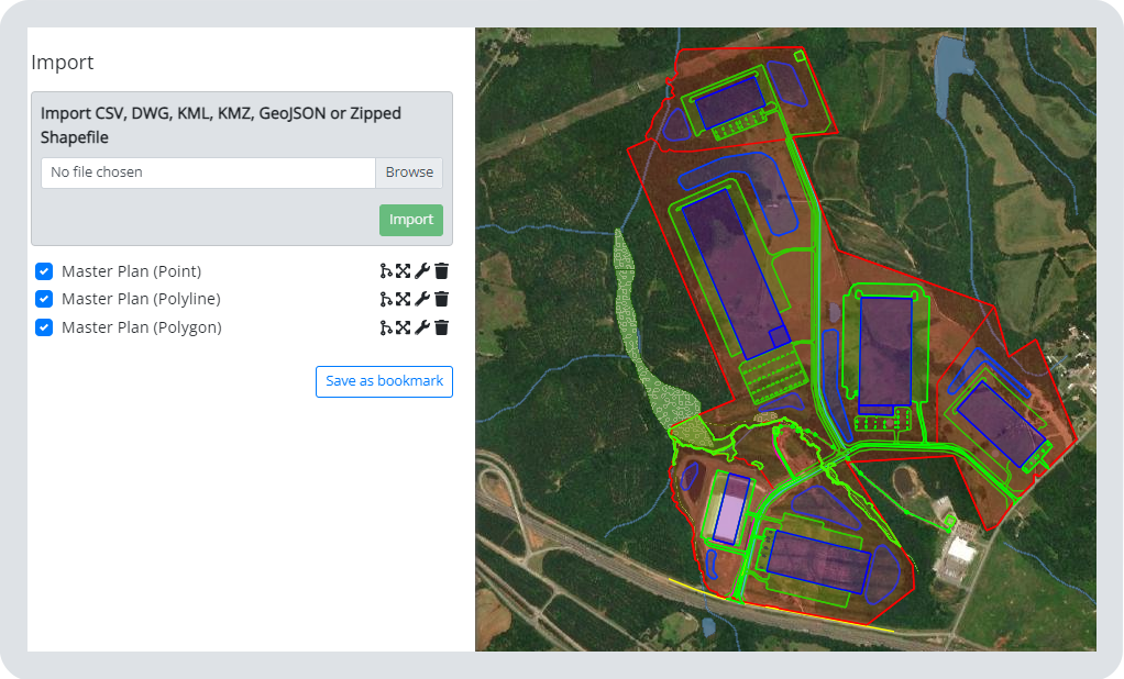
Customize Existing Layers
You don’t have to be a GIS expert to create geographic data along with our existing Latapult layers. Included with all subscription options is the ability to import and overlay data as a graphic, including boundaries and site plans. Pin site information to create and organize your own ideas and data on a map. All you need to get started is your data in a supported file type such as DWG, SHP, KML, and CSV.
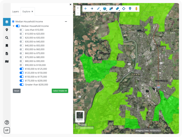
How do I know if this is right for me? If you’re looking to easily create maps with your site plans included, view boundaries, and generate search filters based on high-level property detail, with no additional oversight from our geospatial experts, maximizing Latapult’s existing layers through available Pins, Bookmarks and Graphics tools may be right for you.
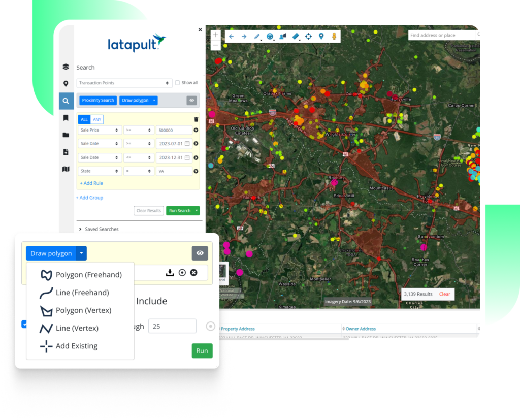
Create Custom Layers
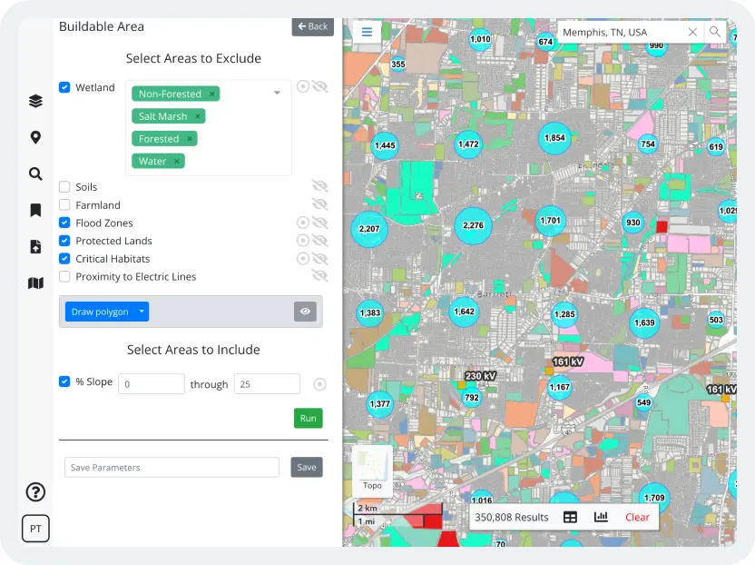
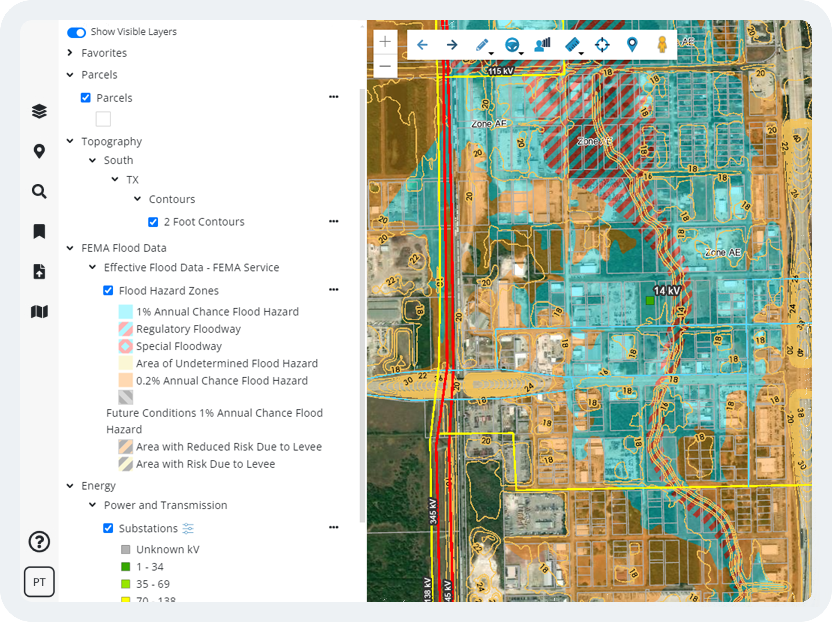
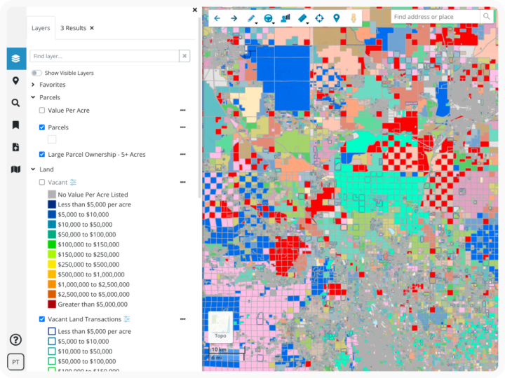
Custom layers allow you to add, build, and manage your own GIS data right within Latapult. Our geospatial experts work closely with clients to import ancillary data layers they have acquired from different sources including detailed utility lines like gas, environmental layers, submarkets, council wards, historic districts, and more to see and understand land patterns or relationships on a map. Custom layers help you go deeper with full details on land attributes, plus elevated search functions.
How do I know if this is right for me? When pins and bookmarks aren’t enough, or you find yourself having to reshare updated data and project status with teams, Latapult Custom provides deeper analysis on ancillary data layers with personalized project tracking capabilities. Speak with one of our geospatial experts to create your very own database within Latapult today.
Integrate with Other Systems
Geographic data can come from all types of sources and Latapult’s deepest custom feature allows you to integrate your own system right into our software. Whether you have your own data system, like a customer relationship management (CRM) or project management tool, or if you receive data from an outside source on a regular basis, such as an Application Programming Interface (API), Data Warehouse, or File Transfer Protocol (FTP), you can have this data automatically updated in Latapult—eliminating the need to switch between systems to compare siloed information.
How do I know if this is right for me? If you need data from other sources, and would rather automate that connection, integrated systems allow for the information to be updated as often as you need without lengthy turnaround times.