
GIS Can Aid in the Fight Against Climate Change
September 12, 2022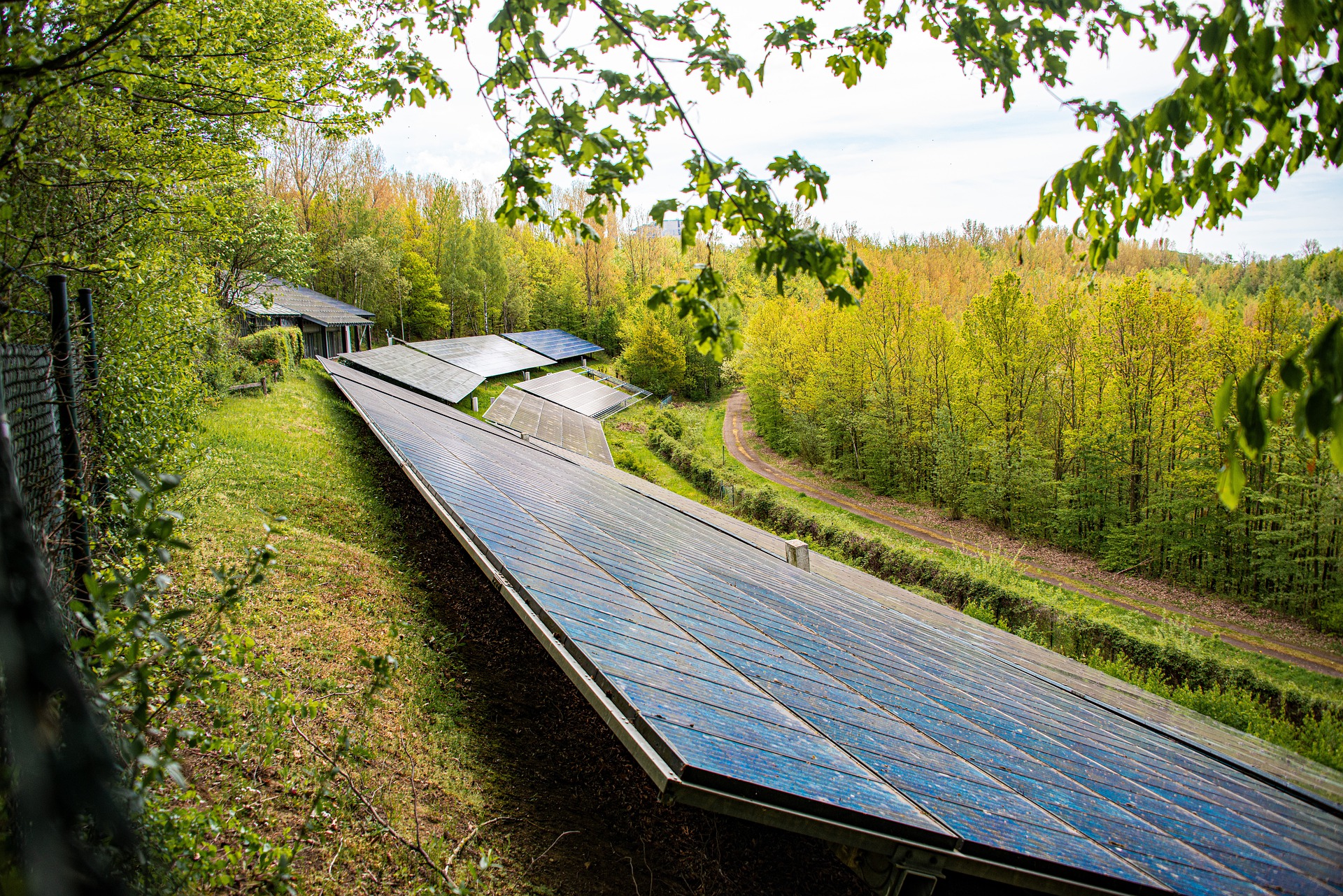
This originally appeared in North American Clean Energy.
Climate change is a hot topic, especially as temperatures rise across the globe and extreme weather events occur. A transition to renewable energy, including solar power, and a focus on reducing our reliance on fossil fuels is important to help slow down the effects of this change.
Fortunately, some states have started to make the shift. In fact, as of April 2022, 29% of U.S. electricity comes from renewable energy, but more is needed. With a recent $369 billion investment into the clean energy sector via the Inflation Reduction Act, the U.S. is joining others in paving the way for renewable energy.
Continue reading to learn about how GIS software can help your solar development team align with the nation’s climate goals.
How Climate Change is Increasing Reliance on Renewable Energy
Climate change heavily affects the growth of the solar industry despite recent investments in the clean energy sector. A common aspect of climate change is severe changes in weather that can actually affect the efficiency and success of solar farms. For example, changes in the frequency of warm weather and cloud cover can limit the output of solar panels. Additionally, heat waves can reduce the output of solar panels between 10% and 25%. As unprecedented heatwaves are breaking records across the world, the adoption of the correct infrastructure is vital to tackling climate change.
Carbon and greenhouse gas emissions have also increased significantly over the past few decades. While standing at a 6% increase in 2021 to 36.3 billion tonnes, emissions are currently set to decrease by 0.3%, but this pace will need to quicken in order for the energy produced by solar panels to outpace them. While current emissions cannot be undone, the future of clean energy is crucial to nationwide efforts to curb further increases.
Solar Developers Need GIS in Their Fight Against Climate Change
By using specific geographic information such as year-over-year maps with extensive geospatial data and spatial imagery, climate scientists and researchers can create a comprehensive picture of how our planet has changed over time. For example, GIS technology has been used to study the specific effects of climate change which include changes in air quality, food production, rises in sea level, extreme weather events, and even risks to city infrastructure. This information can further be used to educate solar developers and in turn, help them make informed decisions on future projects.
Solar project development is not just a solution that helps mitigate the impacts of a changing climate, but it also contributes to the resilience of the electric grid, making the U.S. more energy secure in the face of effects caused by climate change.
Solar teams can utilize geospatial analysis and data to harness the power of clean energy. By creating reports on power usage, developers gain visibility into nationwide natural resource needs and can evaluate the best sites for solar farm installation and development. GIS can also aid in mitigating some of the industry’s biggest challenges such as finding property in proximity to the grid and identifying potential risks before investing in a piece of land.
How Latapult Streamlines the Solar Development Process
Through Latapult tools and capabilities, in particular, solar development teams are able to streamline processes for even more successful projects. Below are just a few of the tools customers have raved about:
- Nationwide Data: Available land data covers the entire U.S. — giving solar developers the ability to compare and enter new markets.
- Property Search: Latapult can be used to compile a list of potential properties. From there, developers can narrow down that list to pick the most suitable site for a project that maximizes solar output.
- Proximity Search Tool: This tool allows solar development teams to find land within a distance of existing transmission lines and substations in order to take full advantage of solar output for surrounding communities.
- Buildable Area Tool: Allows developers to pick a property or draw their own boundary to compute a buildable area based on various data sets and quickly determine the feasibility of land according to environmental specifications.
Armed with GIS software, solar development teams can complete projects successfully, contributing to our nation’s master clean energy plan and helping to combat the effects of climate change.


