
GIS Technology for Every Step of Your AEC Project
March 11, 2024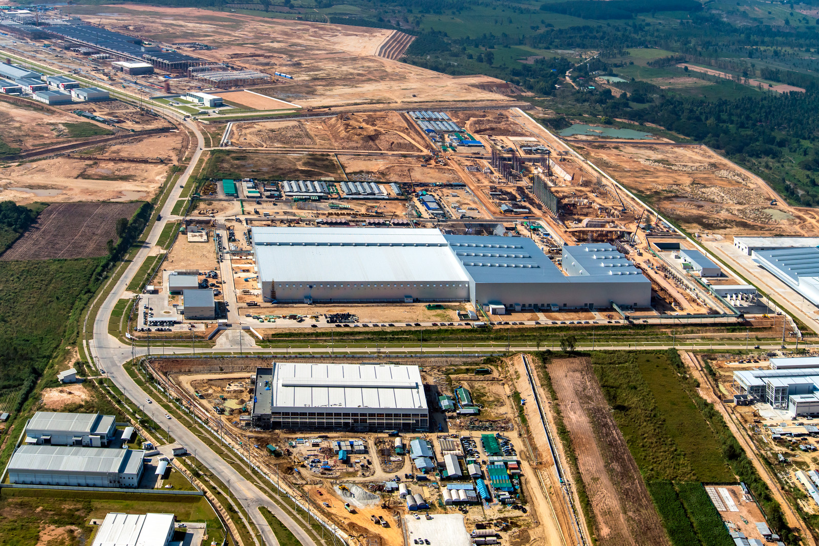
With more than 20,000 AEC firms in the U.S. according to the Census Bureau, competition for clients is fierce. That’s why firms are always looking for ways to stand out among the competition – and to do so, technology is a must.
With technology like geographic information systems (GIS), teams can not only gain a competitive advantage but also speed up operations and ultimately build client relationships. How? From site selection to project management, outdated workflow processes can be time-consuming for AEC teams and expensive for clients. GIS can help firms modernize these processes and improve client satisfaction.
Read on for ways your team can benefit from GIS technology for every step of your AEC project.
Step 1: Guiding Clients Through the Site Selection Process
Clients lean on their AEC partners to help them make smart and informed decisions via research, insights, and expert recommendations. Equipped with the proper tools, AEC teams can be strategic partners that clients trust again and again.

During the site selection process, GIS technology can offer your team the ability to easily find and evaluate land based on up-to-date layers that include zoning, topography, soil data, and more. From there, easy-to-use mapping tools can help your clients better visualize this data in order to make informed land decisions.
Step 2: Providing Smarter Counsel Through Intelligent Insight
Following the site selection process, GIS allows firms like yours to accurately see how land and property can best be developed, as well as anticipate potential challenges clients might face. For example, we had a customer use Latapult to determine soil types for a residential developer so that the client would know which lots needed new soils before the development process began. Because of this, teams can save both time and the client’s money to ultimately build relationships and gain trust.
Step 3: Creating Land Development Scenarios
Now that the client has chosen the right land for the upcoming project, AEC teams can begin putting a plan in place for the actual development. Using drawing and/or layout importing tools, your teams can quickly and easily help clients visualize a future development on the buildable area of a property with relation to GIS land layers like detailed topography. For instance, we’ve had a civil engineering customer help a resort developer reorient a patio by being able to show exactly what the view would be like using our GIS software.
Step 4: Strategizing and Collaborating with Your Team
Finally, from the start of a project to the finishing touches, it can be difficult to manage large teams with several areas of expertise. From landscape architects and civil engineers to land surveyors and construction groups, with the right technology, your team can remain aligned on projects and workflow processes. For example, with GIS, project managers can share critical data and maps among entire teams to better manage a project from beginning to end. With Latapult, this data can even be accessed anywhere, at any time – all you need is a smart device.
Looking to improve workflows, earn a competitive advantage, and gain client loyalty? Click here to learn more ways you can use GIS technology to enhance your team’s approach.


