GIS Software for Utilities Managers and Operators
Latapult’s dynamic mapping and comprehensive infrastructure data powers collaboration and accelerates response times.


The challenge
Demand for water and other utilities can be unpredictable.
Utility managers and operators work hard to provide the public with critical services that power society. But forces like aging pipes, pollution, weather events, and fluctuating populations make it difficult to anticipate and respond to demand. As technology continues to improve, customers expect reliable, uninterrupted service.
Lack of visibility into infrastructure data can slow response times and limit collaboration between in-office staff and field crew, leading to delays in service and unhappy customers.

The solution
Customized GIS Tools for End-to-End Utilities Management
All of your team members – from managers to field crew, customer service, and accountants – need easy access to utility data at the attribute level to keep pace with changing infrastructure needs and provide continuous service. Our customizable GIS software integrates directly with your work order system to keep your processes consistent.
When service is smooth and your team’s work orders are under control, you can use Latapult’s infrastructure data and dynamic mapping to plan for much-needed capital improvement projects.

We work with utility managers and operators nationwide. Put your trust in experienced hands.
-
300+
Businesses nationwide
Supported in uncovering insights that transform projects.
-
50x
Faster search
To quickly and strategically respond to service and work order questions.
-
$1K+
In savings a month per user
On resources, labor, and more.
-
$1M+
In GIS data
Powering environmental, demographic, geospatial, and topographic insights.
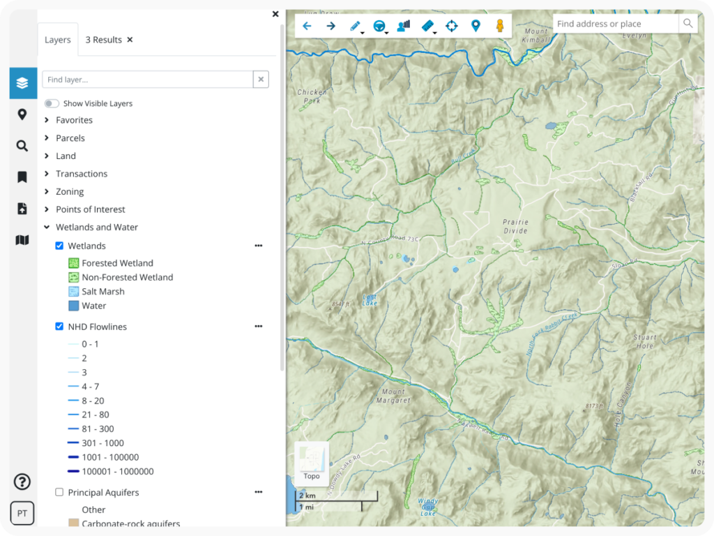
Predict demand with comprehensive GIS data.
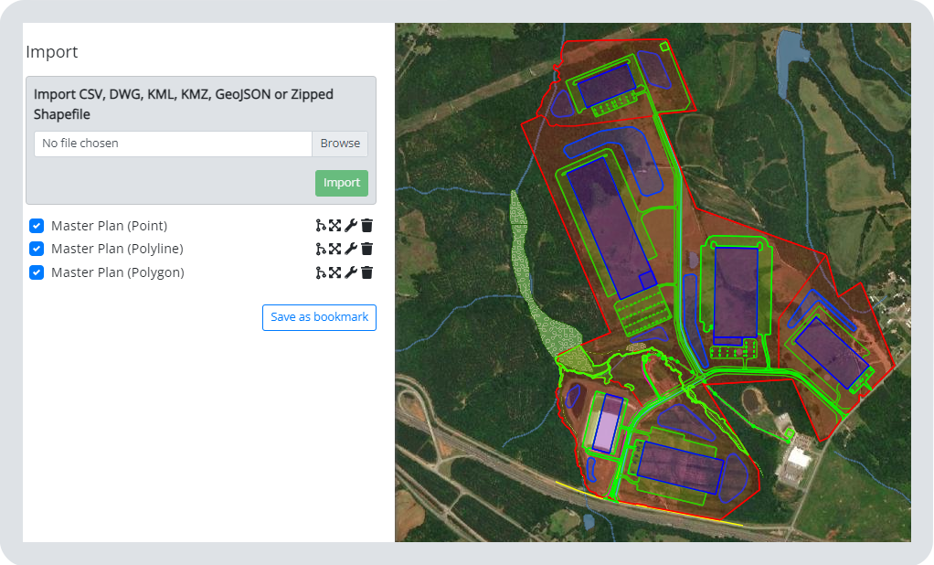
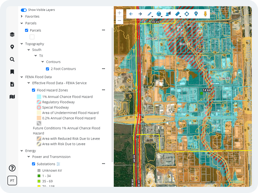
Meeting public utility needs depends on access to the right information. Our platform includes land attributes from FEMA flood zones and wind data to demographic reports, ACS Census data, and more. Plus, utilities managers have the opportunity to import their own data into the platform while adding detailed project tracking with Latapult Custom.
Latapult gives utility managers a holistic look at their service areas.
Dynamic GIS Mapping for Planning Capital Improvements
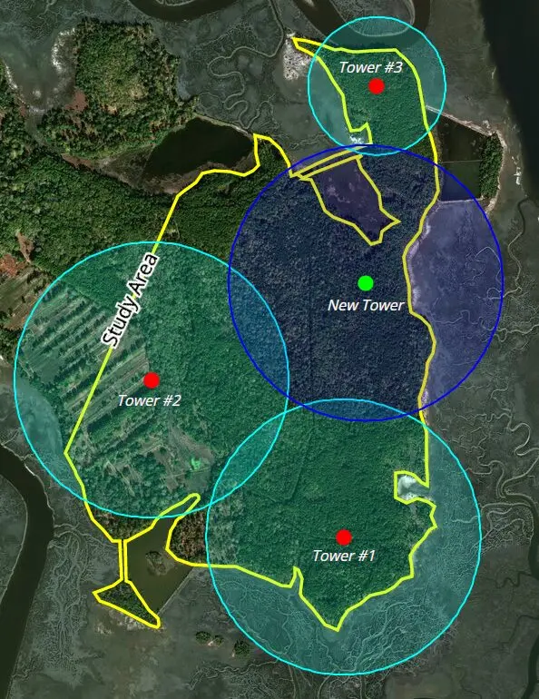
Access to data is important, but real change happens when it is used to enable digital transformation and infrastructure improvements. Between in-office teams and crews in the field, GIS mapping allows for seamless collaboration, powering fast sharing of easily accessible information. Dynamic mapping tools, including our buildable area evaluator, graphs, charts, and more, allow utilities operators to bring their future plans to life.
Visualize the future state of your physical and digital infrastructure with Latapult.