
Data Center Site Selection Made Easy with GIS
October 2, 2023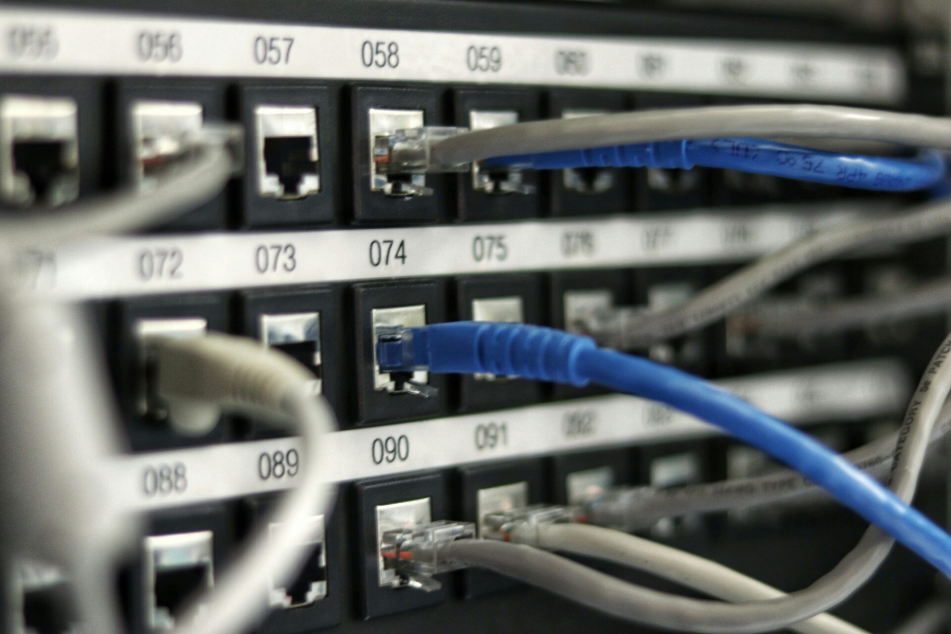
Interest in data center site selection and building has caught the attention of investors, including growth capital, buyout, real estate, and infrastructure developers as businesses and consumers alike continue to embrace digital transformation. In fact, data center demand in the U.S. is expected to increase 10% by 2030, and the market is expected to reach 35 gigawatts (GW) by 2030, up from 17 GW in 2022.
Data center developers have to move fast in today’s competitive market. Access to mapping tools and parcel data both regionally and nationally helps land acquisition teams quickly and easily approve, negotiate, and secure sites with confidence. Keep reading to discover the power of GIS within the data center site selection process.
Determine where a data center will flourish
Data centers need the land they occupy to have the proper soil for buildability, correct delineation of wetlands, and proper zoning to be successful. But finding land to meet such specific criteria isn’t always easy without the proper resources. The site selection process for data centers can become even more complex when considering land attributes tied to network capabilities, government regulations, environmental risks, logistical needs, and more.
Data center developers can simplify the complex site selection process by partnering with an expert GIS provider that helps in better understanding land to make data-validated business decisions. Through data and quality analysis tools, developers are provided with a better way to plan, prepare, and execute a project.
Data and tools needed to streamline workflows
Latapult allows data center developers to compare land data locally and across the country all in one centralized source. Instead of searching for and sifting through land data housed in multiple resources, Latapult provides developers with the tools needed to make sense of data — providing a deeper sense of understanding and decision-making confidence. Access to a comprehensive list of datasets and analysis tools can ensure the success of a project and reduce risks. Latapult provides developers with access to
- Property Information and Values
- Wetland and Flood Hazard Zones
- Soil Data
- Topographic Data
- Demographic Information
- Proximity Analysis
- Buildable Area Analysis
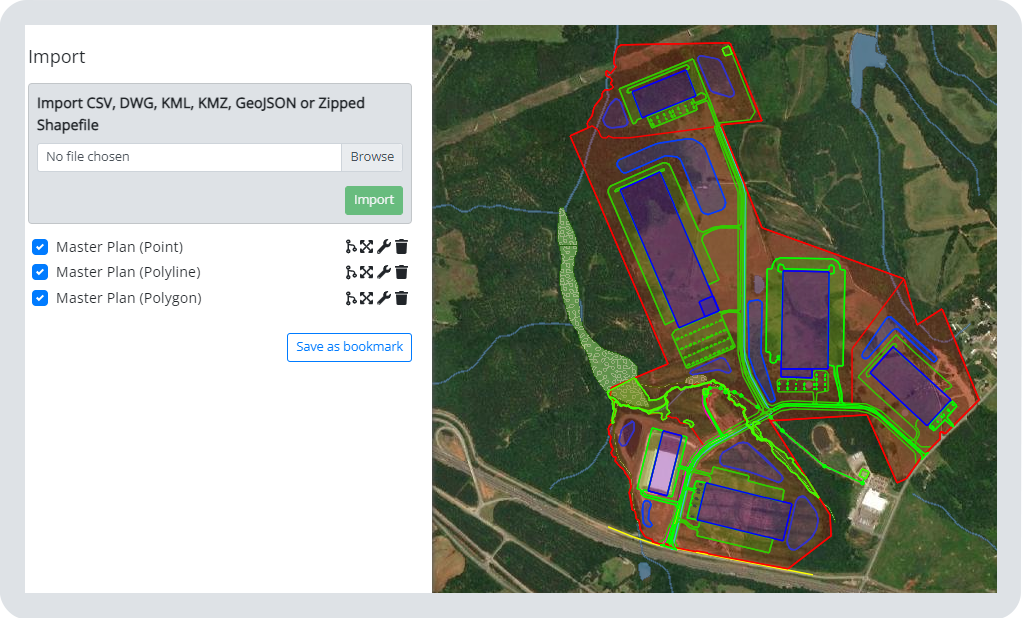
Developers can also import their own data to view as an overlay atop Latapult datasets. By using the import tool, developers can visualize the site’s proximity to available infrastructure.
Latapult provides users with numerous tools that can enhance workflows further. Some of our most popular tools used by data center professionals include:
- Buildable Area: Allows developers to visualize the usable acreage of a property, so they can determine the feasibility of a project and develop site plans.
- Pins: Allows developers to upload notes, images, and data points to site maps to manage processes and keep all team members up to date with workflows.
- Proximity Search: Allows professionals to search for specific land properties within certain distances of major roads or electric infrastructure.
Developers value and trust the power of the Latapult platform capabilities raving, “It’s lightweight and doesn’t require a ton of GIS programming or deep GIS knowledge like other systems out there.” Latapult saves data center development teams hours of research and planning, with collaboration capabilities that speed up investment and due diligence workflows — ultimately beating out the competition to secure the best land deals to bring a data center online quickly and easily.
Schedule a demo to find the best land for the development of data centers.


