Latapult GIS Software Training Center

Expand your GIS skills plus explore our latest datasets and most popular features.
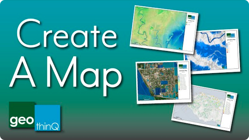
video thumbnail

Create a Map

Use the Create Map tool to quickly generate PDF maps for reports or presentations. Learn how quickly you can create and export a professional map.
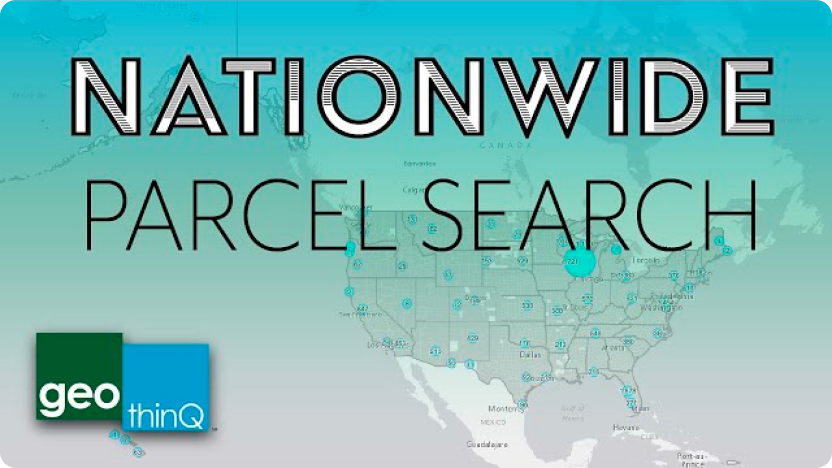
01:01
Print PDF maps for reports and presentations
video thumbnail

Search Layers

Quickly run a detailed search on parcel data layers nationwide using Latapult. Combine attribute queries with location-based filters to obtain results in seconds!
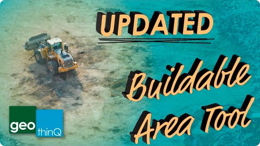
01:23
video thumbnail

Buildable Area

Quickly find and visualize the buildable area on a parcel of land using popular environmental features. New layers for analysis have recently been added to allow for exclusion and inclusion.
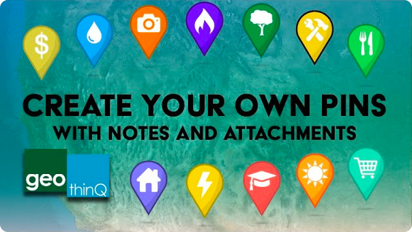
01:09
video thumbnail

Pins

Create your own map pins with notes and attachments using Latapult! Manage groups, share pins, and track properties and related documents through our new interface.

01:23
video thumbnail

Proximity Search

Create location filters based on distance to major roads and electric infrastructure with Latapult! Search for property within a distance of interstates, major roads, and transmission lines, all located within a specific area.
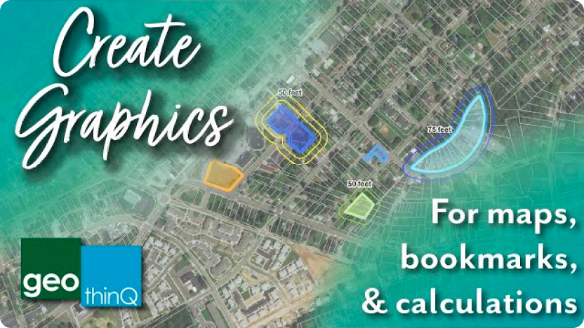
00:55
video thumbnail

Graphics

Create graphics using Latapult to highlight areas or boundaries. Combine your graphics into bookmarks or exported maps, or use graphics to search layers.
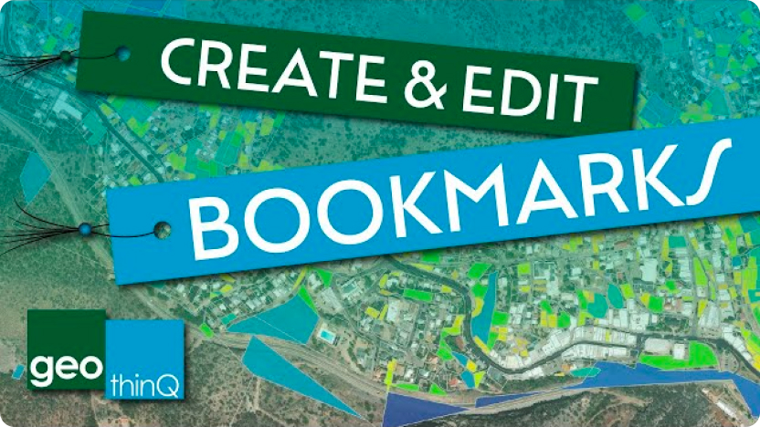
01:53
Create graphics for maps or search boundaries
video thumbnail

Bookmarks

Save your work for later or share it with your team using Latapult’s bookmark feature! Effortlessly combine graphics, selected layers, and zoom extents for quick reference later. You can also easily share your bookmarks with other Latapult users!

01:56
Save your work for later or share it with your team
video thumbnail

Travel Areas

View what’s in driving distance from your chosen property or starting point. Use the output to create a gap analysis with the other available tools and searches.
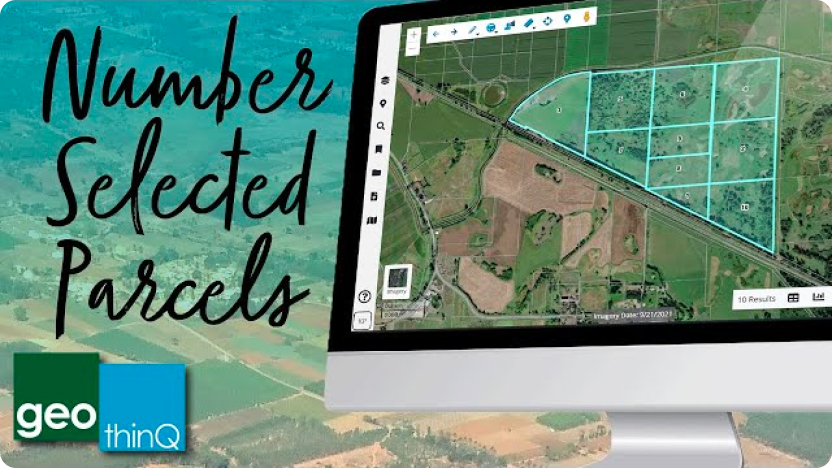
01:28
View what’s in driving distance from your property
video thumbnail

Number Parcels

Number selected parcels for adjacent property maps. With 100 or less selected parcels, generate numbers for each property in your table, and create maps and exported tables with the reference information included.

01:15
Number selected parcels for adjacent property maps

FAQs

  • Do I need to understand GIS software to use Latapult?

    Not at all! We built Latapult to make GIS technology accessible for all land stakeholders. If you have access to the internet, you can use Latapult anytime, anywhere.

  • What devices do Latapult work with?

    Latapult is a web-based GIS program available on any computer, smartphone, or tablet with internet access. No app download required!

  • What data is available with Latapult?

    In addition to property ownership, value, and sale data, Latapult provides access to national historic places, HUBZone data, wind data, elevations, wetlands, soils, points of interest, land zoning, census data, traffic counts, roads, municipal boundaries, flood hazard zones, large parcel layers, and much more!

  • What regions does Latapult cover?

    We have land data available across the entire United States! Check out our plans designed for popular metro areas, state, and national research to see which package works for you and your land mapping needs.

  • How many people can access Latapult under one plan?

    Individuals can sign up for a Single User Metro, State, or USA package. Team packages are available for 3, 5, or 10 people. Have more than 10 users? No problem! Contact us, and we’d be happy to discuss your options!

  • How often is Latapult’s property data updated?

    We update our parcel layers on a quarterly basis. Check out our Changelog for details.

  • How do I use other systems like CAD along with GIS?

    GIS was not designed to replace systems like CAD but can work alongside this technology to enhance the site design process. Through our import tool, clients can upload CAD site layouts to quickly visualize plans against dozens of Latapult layers for a fast, in-depth look at the surrounding environment.


  • How can I access energy datasets?

    Our energy datasets are available at the state and USA subscription levels. Metro subscriptions do not include access to energy data.

  • What do land developers use Latapult for?

    Latapult is often used for managing the due diligence process for land development, land redevelopment, and land subdivision. But we understand that clients’ land mapping needs may vary, so we’ve designed Latapult to be scalable and adaptable to fit into almost any workflow.

  • Why do AEC firms use Latapult?

    Latapult has due diligence layers and mapping tools that give firms the ability to speed up operations and build client relationships. Check out some of our GIS tools and features.

  • What do solar developers use Latapult for?

    With data coverage for the entire USA, Latapult gives utility-scale and community renewable energy developers the ability to enter new markets while streamlining site evaluation workflows. With scalable features, clients can find and evaluate sites for solar farm suitability in seconds using Latapult’s customizable and easy-to-use GIS platform.